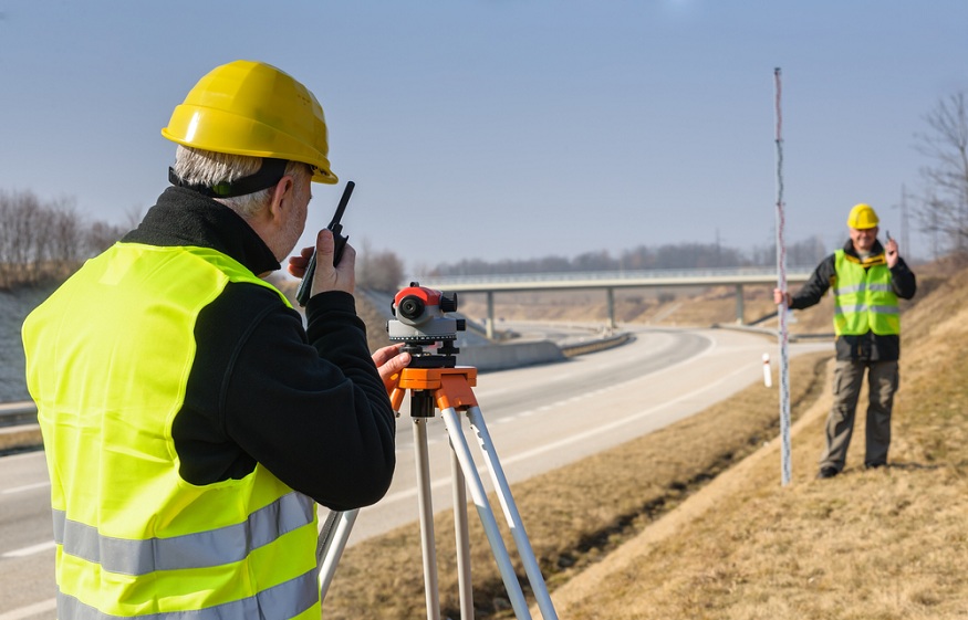
GCPs (ground control points) are important tools in surveying and GIS. At times, ground control points are not required, like when surveying results are for accuracy and to assess details of the area by themselves.
However, when surveys should feature absolute accuracy of location, CompassData Inc experts say that ground control points become a way to ascertain that accuracy.
Basic Control Survey
A control point survey involves extensive areas, which should be made for the curvature of the earth. Baseline measurement for a classical triangulation is thereby reduced to sea-level length to begin computations, and correction is made for spherical excess in angular determinations.
Geodetic operation is classified into four major orders, the first order survey having the smallest permissible error. A primary triangulation is carried out under a rigid specification to ascertain the accuracy of the first order.
Efforts are underway to tie together and extend together continental networks by satellite triangulation in order to facilitate adjustment of major surveys into a single datum and, at the same time, determine the shape and size of the earth with more accuracy.
In addition, the existing national networks are strengthened, while the remaining work to be carried out can be reduced.
Survey Checkpoints vs. GCPs
If you are hunting for accurate data, proper GCP becomes mandatory. On-board RTK offers improved accuracy. Though this doesn’t translate to the same accuracy level on the ground.
The terrain model corrected with RTK data is still vulnerable to camera calibration errors, vibration, and turbulence. GCPs are mostly recorded by GPS-enabled rovers, which use data streamed from nearby reference stations.
In some situations, a known survey mark may also be used as ground control points if they turn out to be compatible with aerial imageries.
On the other hand, checkpoints are normally shot using similar methods as a ground control point. However, with one major difference, ground control points are used to adjust image coordinates and correct the model. Survey checkpoints can also be used:
- To provide the whole team with confidence
- As a reference point in order to validate models
Surveying on Site
Even an expert in drone surveying technological advancement still needs surveying on site. Whether it is for verification, legal, or technical reasons, the best drone survey can be complemented by some groundwork. Some major categories that should be surveyed on-site include checkpoints and very high accuracy points.
Reading Processing Reports
For you to tap into the value of a processing report, you will have to learn how to decipher it. To get started, you may export PDF versions for easy sharing and printing or view all flight processing reports on the platform.
But PDF versions may lack dynamic functionalities, like the capability to see an individual photo geotag or an area of survey, which got affected by filters.
Final Touches!
Based on the project you are handling, it might not be necessary to have a higher level of absolute accuracy. Though if you want to carry out volumetric analysis on aggregate stockpiles, perhaps you will need a higher level of relative accuracy. This is because the absolution positions of all stockpiles won’t matter. It can be helpful to know much materials are in every stockpile.

